Southern Marin, California Trail Map by Tom Harrison Maps

Southern Marin, California Trails Map | Tom Harrison Maps

Southern Marin, California Trails Map | Tom Harrison Maps

Regular price $14.00
/
  • Ships within 48 business hours from our US warehouse. For this product, customs fees may be requested by the carrier upon delivery.
  • Delivery costs calculated instantly in the basket
  • Free returns (*)
  • Real-time inventory
  • In stock, ready to ship
  • Backordered, shipping soon
Tax included.

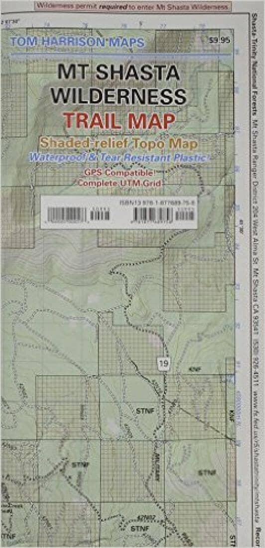
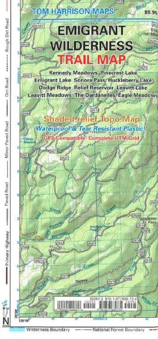
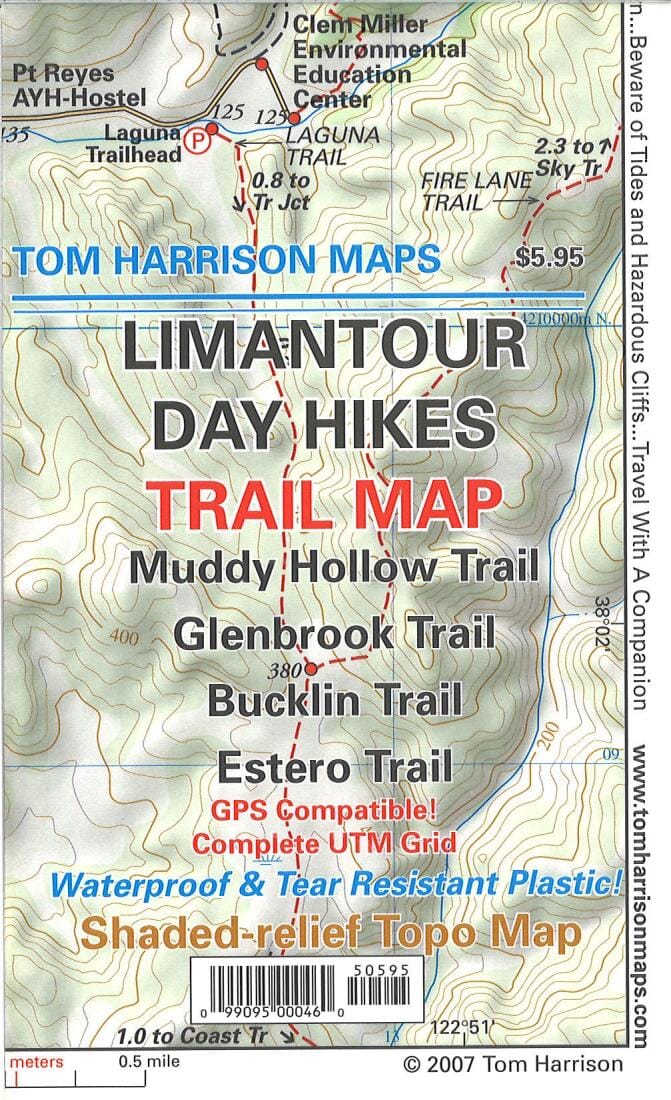
Veautiful, shaded relief topographic map of southern Marin with trails precisely overlaid, boundaries clearly indicated, and trailheads well-marked. Printed on waterproof, durable material in beautiful colors.
Includes Mill Valley, Angel Island, Fort Baker, Rodeo Valley, Ring Mountain, Oakwood Valley, Marin Headlands, Tennessee Valley, Horse Hill Preserve, and Tiburon Peninsula.
GPS-compatible6 with complete UTM grid.


ISBN/EAN : 9780991578405
Publication date: 2014
Folded dimensions: 9.06 inches x 4.33 inches (23 x 11 cm)
Unfolded dimensions: 16.54 inches x 25.98 inches (42 x 66 cm)
Language(s): English
Poids : 60 g

Customer Reviews

Be the first to write a review
0%
(0)
0%
(0)
0%
(0)
0%
(0)
0%
(0)