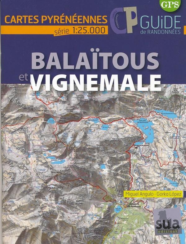
Map & Hiking Guide - Balaitous, VigneMale | SUA EDITIONS (French)
Map & Hiking Guide - Balaitous, VigneMale | SUA EDITIONS (French)
Regular price
$15.00
- Shipping within 24 working hours from our warehouse in France
- Delivery costs calculated instantly in the basket
- Free returns (*)
- Real-time inventory
Related geographic locations and collections: Aragon, Catalonia, Cauterets, Hautes-Pyrenees (department 65), Pyrenees, Vignemale