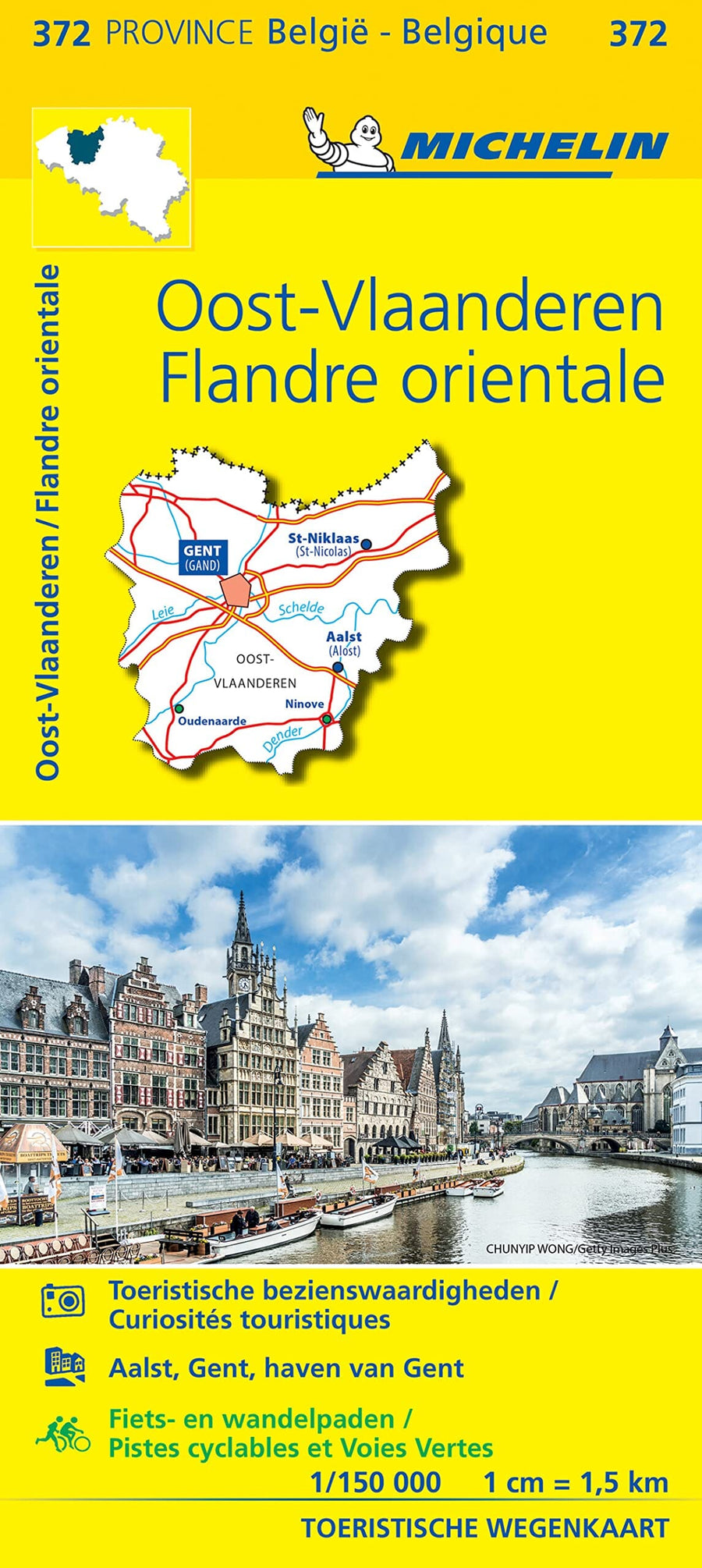
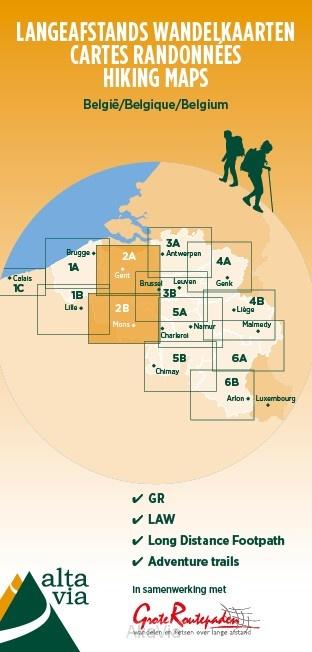
Topographic Map # 8 - East Flanders Province (Belgium) | IGN Belgium - 1/100 000
Topographic Map # 8 - East Flanders Province (Belgium) | IGN Belgium - 1/100 000
Regular price
$8.00
- Shipping within 24 working hours from our warehouse in France
- Delivery costs calculated instantly in the basket
- Free returns (*)
- Real-time inventory
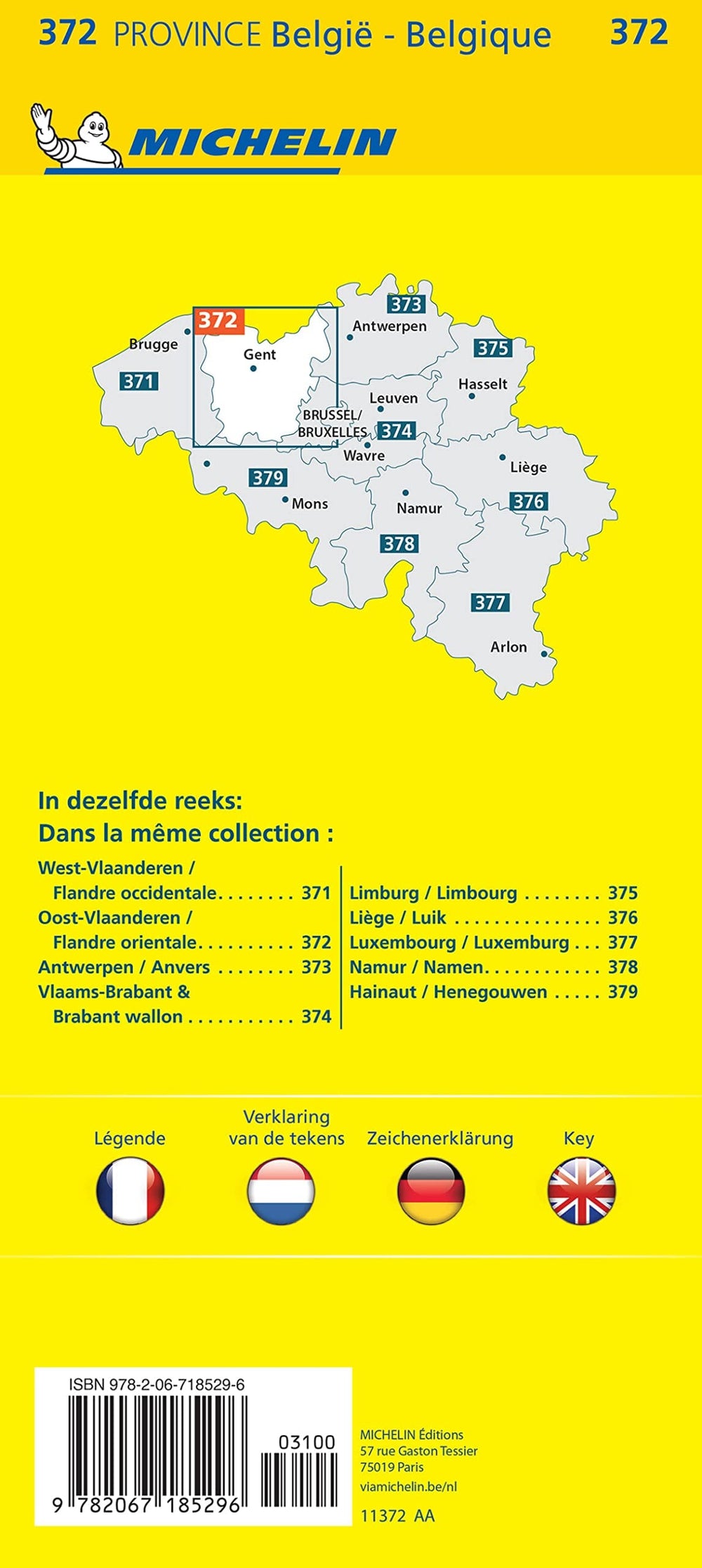
Related geographic locations and collections: Belgium, Belgium - NGI topographic maps at 1/100,000, East Flanders (Belgium)