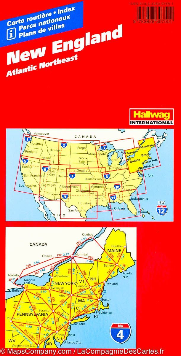
New England, Regional Map by Kappa Map Group

New England, Regional Map | Kappa Map Group

New England, Regional Map | Kappa Map Group

Regular price $11.00
/
  • Ships within 48 business hours from our US warehouse. For this product, customs fees may be requested by the carrier upon delivery.
  • Delivery costs calculated instantly in the basket
  • Free returns (*)
  • Real-time inventory
  • In stock, ready to ship
  • Backordered, shipping soon
Tax included.

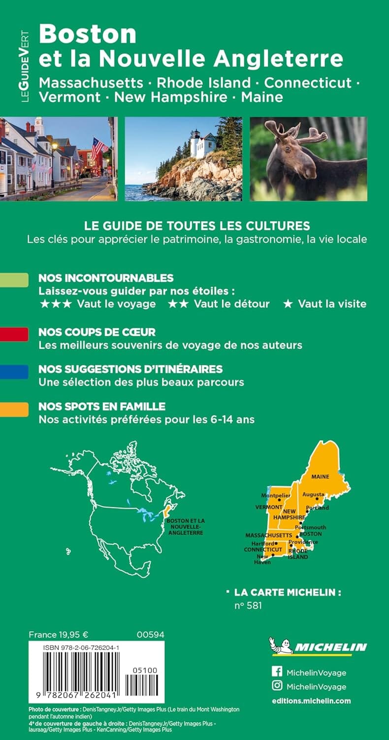
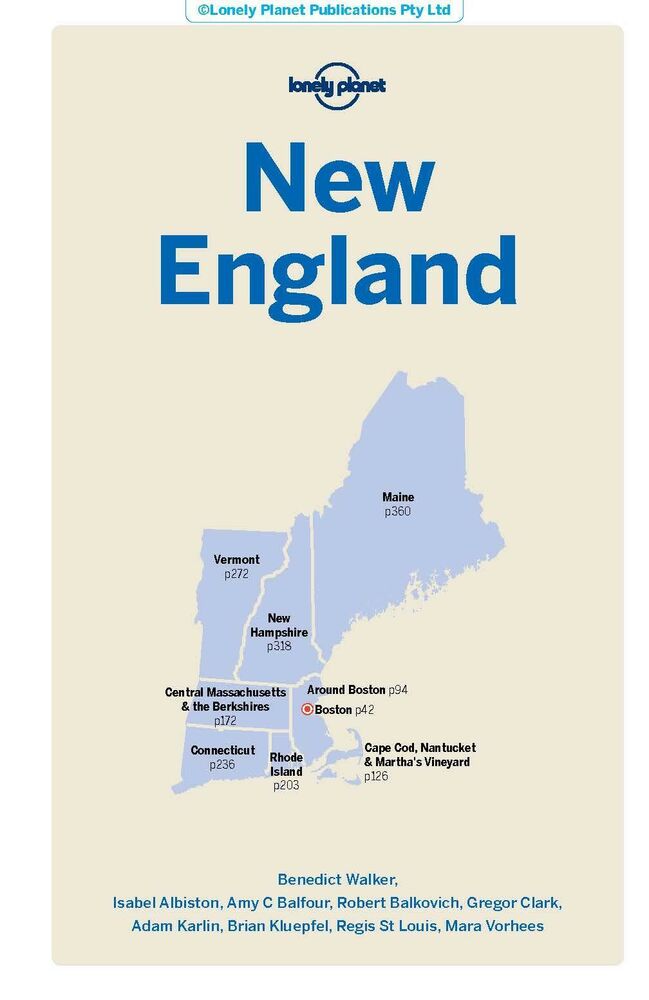
Folded, regional map of New England with index. Covers Connecticut, Maine, Massachusetts, New Hampsire, Rhode Island & Vermon.
Features detail insets of Boston, Springfield Worcester, Hartford, New Haven, Portland, Manchester, and & Providence.
Also features: Covered Bridges, Detailed State Recreation Areas, Information Centers, Lighthouses, Park & Ride Locations, Interstate Exit Numbers, Places of Interest & Ski Areas.


ISBN/EAN : 9780762585663
Publication date: 2013
Folded dimensions: 9.06 inches x 3.94 inches (23 x 10 cm)
Unfolded dimensions: 25.2 inches x 33.86 inches (64 x 86 cm)
Language(s): English
Poids : 80 g

Customer Reviews

Be the first to write a review
0%
(0)
0%
(0)
0%
(0)
0%
(0)
0%
(0)