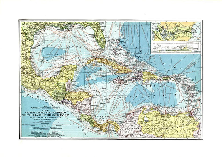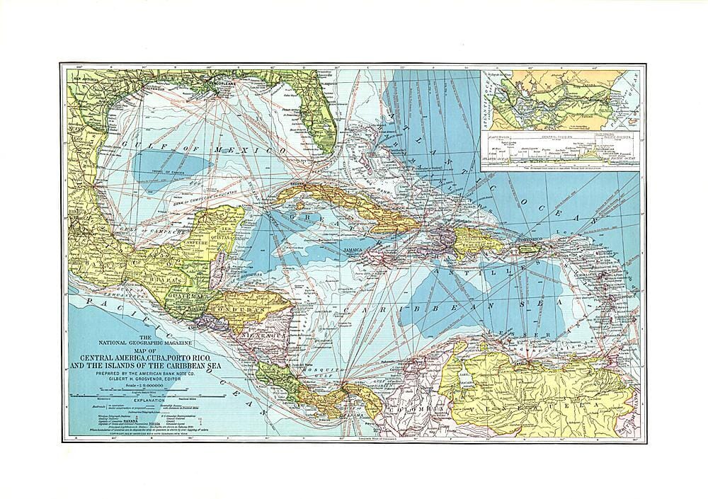
1913 Central America, Cuba, Porto Rico, and the Islands of the Caribbean Sea Wall Map

1913 Central America, Cuba, Porto Rico, and the Islands of the Caribbean Sea

1913 Central America, Cuba, Porto Rico, and the Islands of the Caribbean Sea

Regular price $27.00
/
  • Ships within 48 business hours from our US warehouse.
  • Delivery costs calculated instantly in the basket
  • Free returns (*)
  • Real-time inventory
  • In stock, ready to ship
  • Backordered, shipping soon
Tax included.

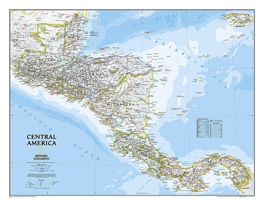
This beautiful map of Central America and the Caribbean features ocean bathymetry and colorful county borders, including overlapping colors demonstrating boundaries in dispute. Published in February 1913 one year before the completion of the Panama Canal, this work contains an abundance of unique details including principal lighthouses, U.S. Consular representatives, steamship routes, and coaling stations.


ISBN/EAN : 2321535M
Publication date: 1913
Unfolded dimensions: 23.25in / 16.25in
Language(s): English
Poids : 200 g

Customer Reviews

Be the first to write a review
0%
(0)
0%
(0)
0%
(0)
0%
(0)
0%
(0)