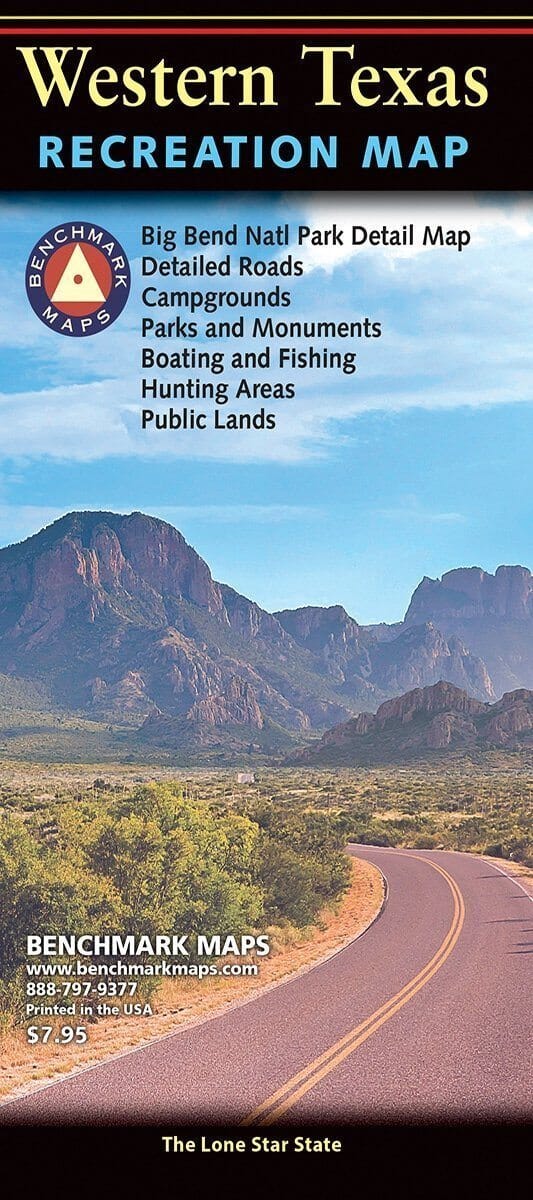
Map of western Texas published by Benchmark.
One of two new releases, the Western Texas Recreation Map is the first map product to show the real richness of recreation potential in The Lone Star State. One side provides a Western Texas map that features land cover (forest, grassland, cropland, & wetland), extensive highway detail, point-to-point mileages, recreation sites, Roadside America attractions, campgrounds, parks & wildlife areas, boating & fishing access points, and public hunting areas. This side also includes an area map of Big Bend National Park. The reverse side features categorized recreation listings with helpful descriptions, current contact information, and map grid references.
Scale 1:1,013,760 (1 cm = 10 km).
ISBN/EAN : 9780783499178
Publication date: 2016
Scale: 1:1,013,760 (1cm=10km)
Folded dimensions: 4.25 x 9 inches
Unfolded dimensions: 27 x 38 inches
Language(s): English
Poids :
50 g