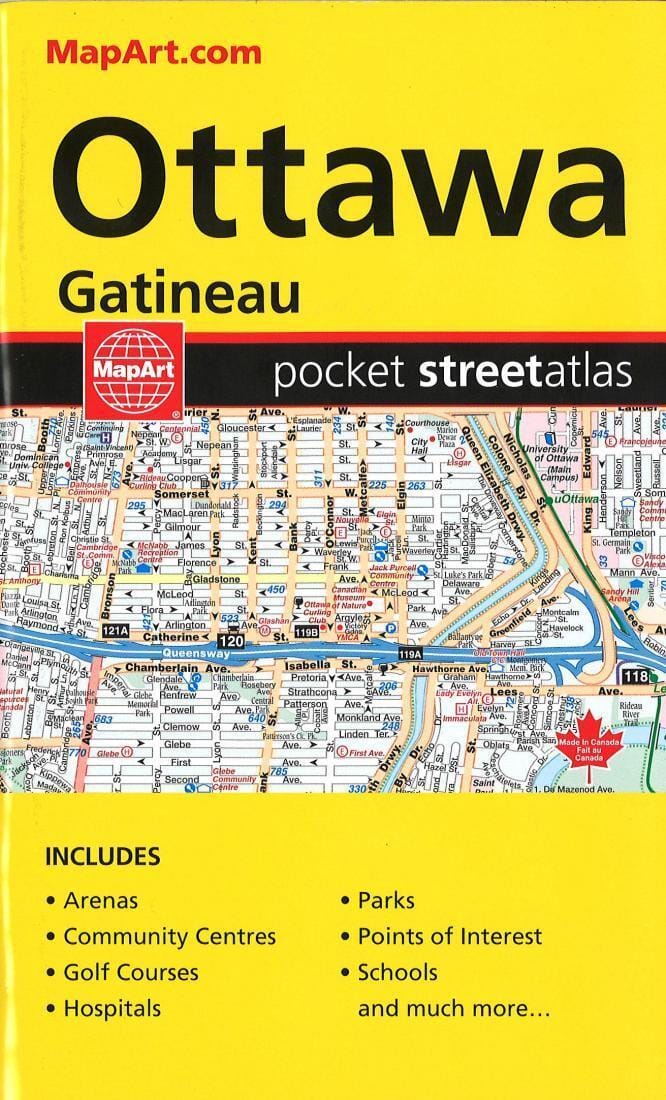
Ottawa And Gatineau Pocket Street Atlas | Canadian Cartographics Corporation
Ottawa And Gatineau Pocket Street Atlas | Canadian Cartographics Corporation
Regular price
$14.00
- Ships within 48 business hours from our US warehouse.
- Delivery costs calculated instantly in the basket
- Free returns (*)
- Real-time inventory
Related geographic locations and collections: Gatineau, Ontario, Ottawa, Travel atlas