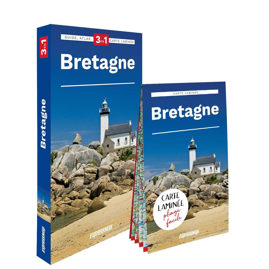
A work 3 in 1 to discover Brittany: guide, atlas and road map in the same book.
Guide : includes exciting route descriptions, with many curiosities and rich practical information.
Atlas : Placed at the end of the book, very detailed, with abundant cartographic information, it covers the entire territory described in the guide.
Map : detachable, < Strong> Laminée , easy to fold and very nice to use during the trip, designed specifically for the guide.
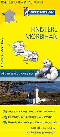
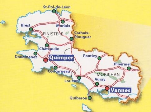
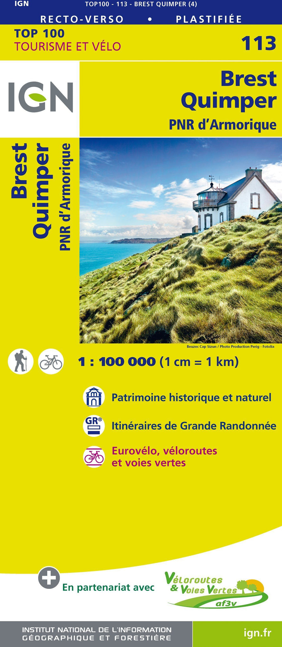
All regions of Brittany: from the markets of Brittany to the solitary lights of the West beaten by the enraged waves, through the bay of Mont-Saint-Michelet the "small cities of character "Fleuries. The biggest cities: Rennes, Brest, Saint-Malo, Quimper, Lorient. Incredible natural heritage: legendary forests, abers and shredded ratings, granitic chaos, vast expanses of mountains, salt salt salt, seafood sisted daily. Impressive cultural heritage: Megalithic vestiges of Morbihan, wooden houses in Morlaix, parish enclosures, majestic strong castles, corsair cities. Traditions and Folklore: Caps, Pilgrimages, Forgish, Legends, Fest-Noz, Festivals, Celtic music. Rich practical information: how to go to each region or site described, indicative prices, purchasing tips, opening hours.